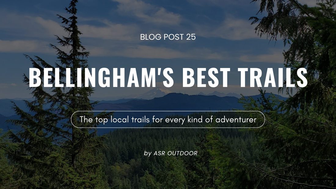
Bellingham’s Best Hikes: From Easy Walks to Epic Views
Bellingham is packed with trails for every kind of hiker, from peaceful lakeside loops to challenging climbs with jaw-dropping views. We’ve rounded up ten of our favorites, organized from easiest to hardest, so you can find the perfect match for your next adventure.
Lake Padden Loop

Trail Details:
Distance: ~2.5 miles loop
Difficulty: Easy
Elevation Gain: Minimal
Location: Lake Padden Park, Bellingham
A flat, scenic path that circles Lake Padden, perfect for a morning walk, post-work stretch, or leisurely weekend outing. The trail passes through shady forest, open grassy areas, and offers plenty of lake views along the way. Amenities like restrooms, picnic areas, and parking make it an easy, no-stress option for all skill levels.
Why we love it: Quick, accessible, and peaceful; a go-to when you want nature without the drive.
Whatcom Falls Park

Trail Details:
Distance: 1–4 miles (varies by route)
Difficulty: Easy
Elevation Gain: Minimal
Location: Bellingham
Multiple waterfall viewpoints, lush forested paths, and the iconic stone bridge make Whatcom Falls Park a favorite for both locals and visitors. Depending on your route, you can enjoy a short stroll to the main falls or wander for miles along Whatcom Creek. The park offers picnic areas, playgrounds, and even a popular swimming hole at Whirlpool Falls in summer. Wide, well-maintained trails make it a great choice for all ages and abilities, with plenty of benches and scenic stops along the way.
Why we love it: Waterfalls, history, and easy access, all just minutes from downtown.
Stimpson Nature Reserve

Trail Details:
Distance: ~3 miles loop
Difficulty: Easy–Moderate
Elevation Gain: ~400 ft
Location: East of Bellingham
This 350-acre reserve is pure tranquility. The main loop takes you through old-growth Douglas firs and cedars, past wetlands and beaver ponds, with soft forest floor underfoot. No pets or bikes are allowed, so the only sounds you’ll hear are rustling leaves, bird calls, and the occasional woodpecker. Seasonal changes bring fresh green in spring, golden reflections in fall, and peaceful stillness in winter.
Why we love it: The peace and stillness make it feel like you’re miles away from the city.
Interurban Trail

Trail Details:
Distance: ~6.6 miles one-way
Difficulty: Easy–Moderate
Elevation Gain: Minimal
Location: Fairhaven to Larrabee State Park
Following an old railway line, the Interurban Trail blends forest stretches, open meadows, and glimpses of Bellingham Bay. It’s a versatile route; go the full distance or just walk a short section. You’ll pass wooden bridges, historic railway markers, and in the right season, wildflowers lining the path. It’s popular with hikers, cyclists, and runners looking for a longer, gentle-grade trail.
Why we love it: Flexible distance with a blend of coastal and woodland scenery.
Fragrance Lake Trail

Trail Details:
Distance: ~5 miles round trip
Difficulty: Moderate
Elevation Gain: ~1,000 ft
Location: Larrabee State Park
This trail winds steadily uphill through mossy forest, with a short spur offering bay views before you reach the lake. Fragrance Lake is ringed by a shoreline loop trail, so you can enjoy different perspectives, from shady coves to sunny openings where the water sparkles. In summer, the lake reflects the forest in perfect stillness; in winter, mist often lingers over the water.
Why we love it: Forest, bay views, and a pristine lake, all in one hike.
Alger Alps

Trail Details:
Distance: ~4.4 miles round trip (South Route)
Difficulty: Moderate
Elevation Gain: ~1,150 ft
Location: North of Bellingham, near Alger
A steady climb along a gravel service road takes you through second-growth forest to a summit with sweeping views over Skagit Valley, Blanchard Mountain, and Samish Bay. In spring and summer, wildflowers line the path, and on certain days you might spot hang gliders launching from the top. The even grade and wide path make it an approachable yet rewarding hike year-round.
Why we love it: Big views in a short distance, plus it’s usually quieter than the more popular peaks nearby.
Pine and Cedar Lakes Trail

Trail Details:
Distance: ~5 miles round trip
Difficulty: Moderate+
Elevation Gain: ~1,300 ft
Location: Chuckanut Mountains
The first mile is a workout, gaining most of the elevation early, but your effort is rewarded with two peaceful lakes hidden in the forest. Pine Lake is the larger of the two, with a quiet shoreline perfect for resting. A short additional stretch brings you to Cedar Lake, a smaller, even more secluded spot.
Why we love it: A quick, challenging route to two secluded lakes.
Chanterelle Trail & Wickersham Truck Trail Loop

Trail Details:
Distance: ~7.9 miles loop
Difficulty: Moderate–Hard
Elevation Gain: ~2,145 ft
Estimated Time: ~4.5 hours
Location: Lake Whatcom Park, east of Bellingham
This loop combines the Chanterelle Trail’s forested switchbacks with the Wickersham Truck Trail for a longer, more challenging adventure. The route begins with a lakeside section through lush Douglas fir forest, where you may spot mergansers, horned grebes, or other wildlife near the shore. As you climb, the trees open to reveal sweeping views of Lake Whatcom, Bellingham Bay, and, on a clear day, the distant San Juan Islands.
Why we love it: It turns one of Bellingham’s favorite viewpoints into a full-day hike with both lakeside beauty and mountain vistas.
Oyster Dome

Trail Details:
Distance: 6–6.5 miles round trip
Difficulty: Moderate–Hard
Elevation Gain: ~1,900 ft
Location: Chuckanut Drive
A steady climb through shaded forest leads to one of the most iconic viewpoints in the region, a rocky outcrop high above Samish Bay. From the top, you’ll see the San Juan Islands, Skagit Valley, and Olympic Mountains on clear days. It’s a favorite for locals and visitors alike, especially in summer.
Why we love it: A solid workout with one of the best panoramic views in the region. Read our full blog on Oyster Dome [here] for more trail tips and photos.
Heliotrope Ridge

Trail Details:
Distance: ~7 miles round trip
Difficulty: Hard
Elevation Gain: ~2,000 ft
Location: Mount Baker area
This alpine trail offers glacier views, wildflower meadows, and the crisp scent of mountain air. Expect stream crossings and steady elevation gain as you make your way to viewpoints of the Coleman Glacier. In late summer, the trail bursts with color from blooming lupine and paintbrush.
Why we love it: Glacier views and a true high-alpine feel just an hour from town. Read our full blog on Heliotrope Ridge [here] for detailed route info and photos.
From quick walks to all-day treks, these Bellingham trails showcase the best of the Pacific Northwest. Pick one, lace up, and enjoy the journey, just remember to pack the essentials and leave no trace.